
Words By: Rhys Mather
Image credits: flickr commons
Nakanotorishima is the name of an island that never existed. Reported at coordinates 30°45′N 154°25′E and appearing on maps until 1932, the island was supposedly located in the Japanese archipelago. In 1933 a team of Japanese hydrographers were sent to conduct a search for Nakanotorishima as the location of the island had been called into question by airplane photography. Upon arrival they could find no island at all – and on June 27th, 1933, the island was officially declared missing. Japanese authorities would later determine the island had not disappeared but never existed in the first place. They had just ‘undiscovered’ a phantom island.
This phenomenon was not exclusive to Nakanotorishima, world atlases prior to the advent of aerial photography are littered with hundreds of these “phantom islands” that were first reported during the age of exploration. Sailors would often misidentify optical illusions or geological phenomena as islands, which would be drawn onto maps. An example of this is Sandy Island – first “discovered” by Captain James Cook in 1774. This phantom island appeared on maps until, staggeringly, 2012 when an Australian research ship travelled through the reported location and found no trace of land. Sandy Island famously appeared as a cluster of black pixels on Google Earth, where satellite imagery had failed to reconcile the incorrect map data. Today its thought that Cook had observed a pumice raft – a mass of floating volcanic rock carried by ocean currents following undersea eruptions – which are often mistaken for land.
Aside from misidentification, some phantom islands arose for more unscrupulous reasons. Most phantom islands were identified between the 15th and 19th century, during the “age of discovery”, where European nations scrambled to explore and violently colonise the rest of the world. This period of history saw the vast majority of wealth in Europe concentrated into the hands of super-rich aristocracy, as a result they were the only people capable of financing lengthy, seafaring voyages. Explorers may have created fictitious islands in order to appease their financiers, and secure funding for further voyages. By the 18th century expanding European empires would often pay sailors for every island they could claim, which gave even greater incentive to record faux islands. Map makers would also create phantom islands in order to detect fraud. Before the 20th century, cartography required a skillset few people in the world possessed – so, copied maps could be identified by which phantom islands were drawn in.
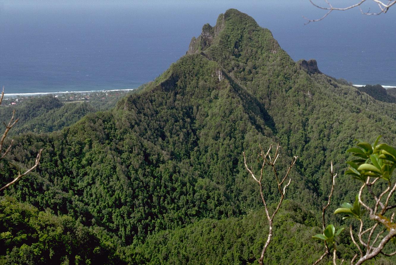
While the existence of most phantom islands can be definitively debunked, others remain more mysterious, and may have existed at one point in time. One such example is the lost isle of Tuanaki, which allegedly existed in the Cook Islands, near Rarotonga and Mangaia. Tuanaki is somewhat unique among Phantom Islands as it was purportedly home to an indigenous population and the Island was vouched for in the testimonies of numerous credible witnesses. Speaking to a Rarotongan man named Tamarua in 1897, British army officer William Gill writes:
“We learnt from Tamarua that Tuanaki was supposed to lie south from Rarotonga, and that their ancestors used to visit the island. It took them two days and a night to reach it. The late Judge J. A. Wilson told the writer that “a trading vessel from Auckland used, at one time in the forties, to visit an island, the exact position of which was kept secret. But on a subsequent visit it had disappeared”—probably this was Tuanaki.”
Furthermore, a sailor named J.E. Haymet passed through the approximate position of Tuanaki in 1863 and reported an uncharted group of rocks. Submerged 8 feet beneath the surface and extending far into the depths, they were dubbed the “Haymet rocks” and esteemed oceanographer Henry Stommel proposed they are the sunken remains of Tuanaki. This would match the timeline of the island’s disappearance, as a group of English missionaries sailed to the location of Tuanaki and were unable to locate it in 1844.
It seems entirely possible that Tuanaki was a real island – only to be submerged by undersea earthquakes or volcanic activity. However compelling the accounts of Tuanaki may be, until further evidence is found it remains a phantom.
Credit : Wiki commons
Phantom Islands also present interesting geopolitical problems, as international law states that if a country owns an island, they also own the surrounding ocean, extending to a 200-mile radius as an “Exclusive Economic Zone” (EEZ). This is the precise reason the Mexican government is determined to locate the phantom island of Bermeja. First reported in 1539 by Spanish cartographer, Alonso de Santa Cruz, it would be northmost Mexican island in the Gulf of Mexico. This means if Bermeja is real, it would push Mexico’s EEZ hundreds of miles north, allowing them to access a wealth of oil and natural gas. Unfortunately for the Mexican government extensive searches in the area have found no trace of the island. If it did exist, Bermja was supposedly a low-lying atoll meaning it could have been submerged by rising sea levels, but this seems unlikely given the search efforts. An alternative explanation comes from a conspiracy theory that states the CIA destroyed the island in an effort to block Mexican EEZ expansion, while outlandish it’s certainly more exciting than “it never existed”.
Phantom islands have captured the imagination of artists, like Agnieszka Kurant, who created maps charting the locations of the phantoms. The London Science Gallery writes:
“Much of Agnieszka Kurant’s work investigates ‘the economy of the invisible’ in which errors, rumours and myths exist as if real, and go on to influence political and economic systems. For The Maps of Phantom Islands, Kurant researched non-existent islands that have appeared in maps throughout history. Some were the results of mirages or map-making errors; in others they were inventions, created by explorers to acquire funding for further expeditions. Many of these non-existent islands were sources of real financial transactions and in some instances nearly led to wars…. Kurant renminds us that theories can be modified or debunked, and no doubt some of the knowledge which we hold to be true today will transform into the phantoms of the future.”
Phantom islands are mystifying not just because of the compelling mysteries attached to them, but because they serve as an example of the past’s ability to influence our future – a handful of misidentified geological phenomena hundreds of years ago led to governments conducting research voyages and centuries of debate over the fate of islands like Tuanaki. Whether they exist or not, phantom islands have left intrigue in their wake – and if nothing else, they at least conjure a few good mysteries.